GIS
RadarPing Professional allows efficient advanced map design, including text, shapes, lines, connectors and an icon library. Maps are fully scaleable due to the vector graphics concept used. Vector, WMF, EMF and BMP files may be used as map background. This allows displaying hosts on top of a city map or office building plant.
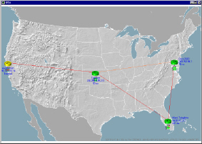
Click here to enlarge
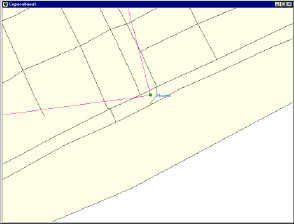
Zoom
Unlimited zooming in and out allows focusing on important areas within the network.
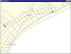 Click here to enlarge
|
 Click here to enlarge |
|
Preferred views and bookmarks RadarPing Professional allows storing your preferred view of a map, preserving zoom factor, displayed features etc. A bookmark helps accessing a host on a certain map as fast as possible. |